

- Libreria
- >
- Libri in lingua
- >
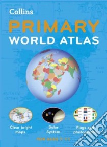
Collins Primary World Atlas - 9780007484409
Un libro in lingua di (COR) Collins edito da Trafalgar Square Books, 2013
- € 11.70
- Il prezzo è variabile in funzione del cambio della valuta d’origine
Designed for use in the classroom or at home, this revised edition includes informative, politically colored reference mapping of all major world regions
Providing an introduction to mapping of all major regions of the world, this atlas includes information on map reading skills, the meaning of scale, and measuring distances. The reference maps are easy to read with national capitals and major cities easily identifiable, and are supported with national flags and basic national statistics. Continental maps are linked to the regional mapping and are supported by a selection of satellite, aerial, and terrestrial photographs. Continental relief maps show layer coloring, and major physical features are highlighted. The index uses a simple grid reference system and a selection of web addresses is included to help with further study. A full range of interactive flip charts to support this atlas are available as downloadable files. These charts are easy to use and allow teachers and learners to further develop atlas skills.
Informazioni bibliografiche
- Titolo del Libro in lingua: Collins Primary World Atlas
- Lingua: English
- Autore: (COR) Collins
- Editore: Trafalgar Square Books
- Data di Pubblicazione: 01 Luglio '13
- Genere: JUVENILE NONFICTION
- EAN-13: 9780007484409